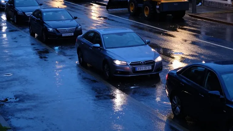
Rain Covers Houston as Tuesday Temperatures Hold Near 80
AccuWeather data shows an 88 percent chance of precipitation and wind gusts exceeding 8 mph for the Texas metro area.
By Javier Sanders ·
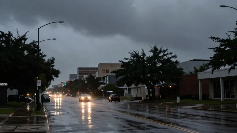
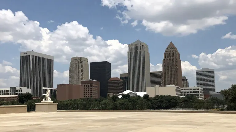
Houston residents face a day of near-total cloud cover and persistent rain on Tuesday, November 3. AccuWeather reports that precipitation chances will range from 55 percent to 88 percent throughout the day. The weather service indicates the sky will remain practically overcast from morning through evening.
Temperatures will reach a high of 79 degrees Fahrenheit, or 26 degrees Celsius. The low for the night is expected to drop to 59 degrees Fahrenheit, or 15 degrees Celsius. Humidity will keep the feels-like temperature steady at 84 degrees Fahrenheit, or 29 degrees Celsius, for both the high and the low. Wind conditions will include gusts reaching 8.08 mph during the day and 5.59 mph at night.
Daylight hours align with the seasonal shift for the region. Sunrise is scheduled for 6:36 a.m., while sunset will occur at 5:33 p.m. These times mark the current standard for the Houston metro area in early November. The weather pattern fits within the typical seasonal range for the city.
Houston's climate generally features warm summers and mild winters. Annual rainfall averages 39 inches. The hottest months are June, July, and August, when temperatures average around 90 degrees Fahrenheit. The coldest months are December, January, and February, with averages near 49 degrees Fahrenheit. The city receives ample sunshine most of the year, though humidity levels often skew high.
Proximity to the Gulf of Mexico drives high relative humidity in the area. This figure typically varies between 50 and 90 percent. Such conditions make the air feel warmer than the actual thermometer reading. While air quality is often good, industrial activity and refinery pollution can affect local air. Summer months often see higher ozone levels, which can impact those with respiratory conditions.
The region carries a moderate risk of natural disasters, particularly during hurricane season. Hurricanes present a major threat to the city and can cause severe damage and loss of life. Flooding is also a common risk due to low-lying terrain and Gulf proximity. Tornadoes occur less frequently but still pose a danger of significant property damage or injury. Emergency protocols remain in place for these events.
The forecast for Tuesday includes a full day of rain with no breaks in the cloud cover. Wind speeds will remain moderate, peaking at just over 8 mph. The temperature gap between the day and night is small, with the night low sitting 20 degrees below the day high. Residents should expect wet conditions from the 6:36 a.m. sunrise until the 5:33 p.m. sunset.