Snohomish County urges residents to prepare for El Niño floods despite milder forecast
Officials cite the risk of sudden tributary surges and snowmelt, warning that past record flooding does not guarantee a calmer season.
By Javier Sanders ·
Snohomish County officials released a new set of flood preparation resources on Monday as the region braces for an El Niño winter that may bring warmer temperatures and increased rainfall.
Lucia Schmit, the county’s Emergency Management director, stated that the weather pattern could lead to flooding conditions that might lull residents into a false sense of security. She explained that the county’s rivers are highly reactive to weather changes, causing water levels to spike and drop rapidly.
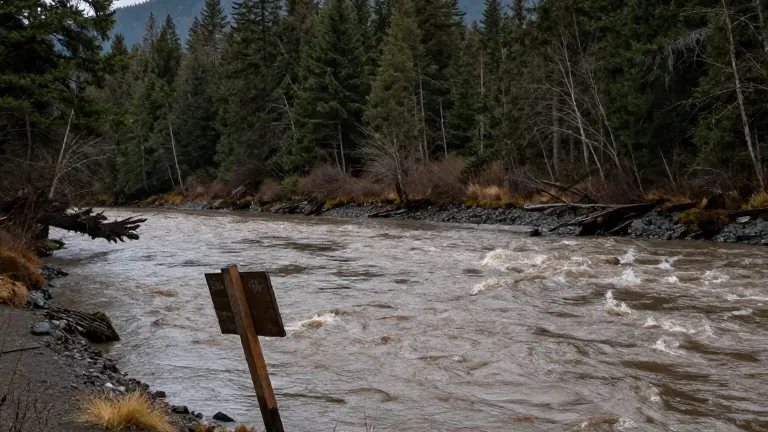
Schmit noted that the geography of the area makes precise forecasting difficult. Rain falling in the nearby mountain ranges can shift between river basins, sending water into unexpected areas. She specifically identified the Wallace River as a waterway that rises quickly when rain lands in its basin but clears out just as fast once the precipitation stops.
The Wallace River flows into the Skykomish River near Sultan. The Skykomish then merges with the Snoqualmie River to form the Snohomish River. While officials can often predict the behavior of the main Snohomish River, Schmit said the smaller tributaries remain unpredictable and prone to sudden surges.
Local memories of flooding are fresh. In December 2025, record levels of water submerged 36,000 acres of the county, an area equivalent to 56 square miles. During that event, more than 800 residents received evacuation orders and 52 roads were closed to traffic.
The financial impact of last year’s disaster was substantial. Residents and business owners reported damages exceeding $5.5 million. Publicly owned infrastructure sustained $18 million in damage, according to county records.
Maddie Kristell, a meteorologist with the National Weather Service, indicated that atmospheric rivers, the primary drivers of last year’s flooding, are not currently in the forecast for this winter. She explained that El Niño conditions typically steer storm tracks toward the southern United States rather than the Pacific Northwest. This shift generally results in milder precipitation levels.
However, Kristell warned that warmer temperatures could increase the risk of flooding through snowmelt. If rain replaces snow in the Cascades, the accumulated snowpack could melt rapidly during the next warm system, adding significant volume to the rivers. She added that the National Weather Service can typically predict heavy rain events three to eight days in advance.
Schmit emphasized that climate change introduces uncertainty into these predictions. She pointed out that her four years in the position have included two record flood events, challenging the traditional assumption that such extremes cannot happen consecutively. She urged residents to use the county’s online hazard viewer to determine if their homes, workplaces, or schools are located in floodplains.
The county recommends that residents visit the public safety hub at snoco.org/safety to sign up for alerts via phone or email. Farmers can rehome livestock at the Evergreen State Fairgrounds in Monroe during an evacuation. The county also maintains a real-time flood information system at snohomish.onerain.com and provides a disaster preparedness checklist on its website.