Tesla Is Finally Building Its Own Maps to Fix Driving Glitches
The automaker admits third-party data isn't enough, launching a new fleet-based system to correct speed and routing errors for drivers.
By Amelia Gupta ·
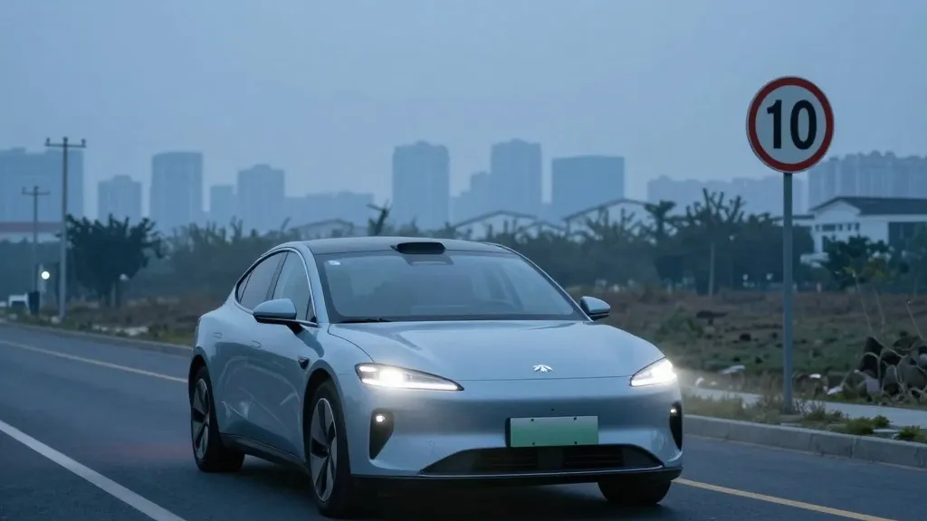
Drivers using Tesla’s Full Self-Driving software will soon see changes in how the vehicle handles speed limits, parking, and route selection. These are among the most frequent complaints from users, and the company has acknowledged that its current reliance on external data is insufficient. Starting with the upcoming version of its software, Tesla plans to use its own proprietary mapping layer to improve these specific functions, marking a significant operational shift for owners who have relied on the system for basic navigation tasks.
The decision to build internal maps was outlined by Tesla’s VP of AI, Ashok Elluswamy, during the company’s Q3 2026 earnings call. He explained that the new system is an AI-based architecture that learns from the collective data of the entire vehicle fleet. This approach allows the software to understand local road conditions better than generic third-party maps. The system is also designed to adapt to individual driver preferences and respond to voice commands, aiming to create a more personalized and accurate driving experience for each user.
This development represents a notable reversal in Tesla’s long-standing public stance on autonomous driving technology. For years, the company’s leadership argued that self-driving systems relying on detailed maps were fragile and inefficient. By building its own maps, Tesla is now engaging in a process similar to that of competitors like Waymo, where vehicles are used to map roads to identify areas the AI cannot reliably interpret on its own. This shift suggests that the pure vision-based approach previously touted by the company may require additional data layers to function effectively in complex real-world scenarios.
The move addresses specific technical shortcomings that have persisted for some time. A retail investor highlighted during the shareholder Q&A that mapping issues remain a primary pain point for FSD users, specifically citing speed limit accuracy, parking challenges, and route efficiency. Elluswamy agreed with the assessment, stating that Tesla should not depend on external providers for this critical data. The new mapping system is expected to begin handling the start and end of trips with FSD v15, with broader navigation and parking capabilities to follow in the coming months.
Tesla’s history with mapping has been inconsistent, which adds context to this latest announcement. In 2015, the company initially claimed to be building high-precision maps with significantly more granularity than standard navigation tools. However, by 2019, CEO Elon Musk had publicly dismissed the idea, labeling high-precision lane maps a "huge mistake" that made systems "extremely brittle." He argued that cameras and AI were sufficient to solve driving without the need for detailed cartography or lidar sensors, a message that defined Tesla’s competitive strategy for several years.
Despite the previous skepticism, the current focus is on understanding the physical environment more accurately. The problems Tesla is aiming to fix, such as misreading speed limit signs and navigating parking lots, are fundamentally about environmental awareness. Recent reports have highlighted these issues, including a study by a Belgian road safety group that found FSD vehicles exceeded speed limits in a majority of test zones in Brussels. Additionally, the U.S. National Highway Traffic Safety Administration is considering an investigation into claims that Tesla’s robotaxis have sped through active school zones, further emphasizing the need for better environmental data.
The new approach brings Tesla’s methodology closer to that of its competitors. Waymo, for instance, uses sensor-equipped vehicles to map cities before launching services and updates these maps continuously as its fleet operates. Tesla is now describing a similar model where its cars collect data to feed a centrally built map that improves driving performance for all vehicles. While the primary difference remains the use of lidar in Waymo’s fleet, the core concept of using a fleet to build and maintain detailed local knowledge is now shared between the two leading autonomous driving companies.
This shift also aligns with how Tesla’s Robotaxi service is currently structured. The service operates within specific geofenced areas in various cities, requiring detailed local knowledge to function safely. While Tesla is not yet talking about centimeter-level high-definition maps, the continuous data collection from its fleet could lead to increasingly detailed cartography over time. This evolution suggests that the company is moving toward a hybrid model that combines real-time vision with a robust, internally maintained map database.
For consumers, this change implies that the software’s reliability in common driving scenarios may improve in the coming years. The ability to correctly read speed limits and manage parking is critical for user confidence and safety. By moving away from third-party dependencies, Tesla aims to create a more cohesive and responsive driving system. The success of this new mapping architecture will be a key factor in determining whether the company can meet its future goals for unsupervised driving in consumer vehicles.
Looking ahead, the integration of this new mapping system is expected to roll out in stages over the next few months. The initial focus will be on trip initiation and conclusion, with more complex navigation tasks to be added later. This phased approach allows Tesla to test the new AI-based mapping tools in real-world conditions before expanding their scope. For the Pacific Northwest and other regions, drivers can expect gradual improvements in how their vehicles interact with local road infrastructure, potentially reducing the need for manual corrections during daily commutes.