Fog and frost mark a chilly Halloween morning before sunny Sunday
Pacific Northwest residents face mid-30s lows and reduced visibility on Friday, while dry, mild conditions return for the weekend.
By Javier Sanders ·
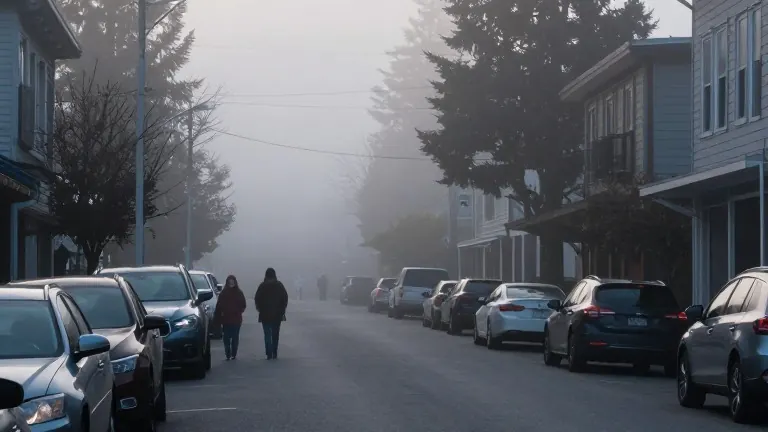
Morning temperatures across the coast, metro, and valley areas have dropped into the mid to upper 30s as of early Friday. A frost advisory remains in effect for these regions until 9 a.m. The cold snap follows a clear night with little wind, which allowed heat to escape efficiently from the ground. Patchy fog has formed in several locations, prompting drivers to slow down and allow extra time for commutes due to reduced visibility.
The weather pattern shifts as the day progresses. Cloud cover will gradually increase throughout Friday. The storm system responsible for recent showers is weakening and moving overhead in the evening. While the system is losing strength, it still holds some moisture. Light showers or sprinkles are possible between 5 p.m. and midnight. Residents going out for trick-or-treating should expect temperatures in the mid 40s to lower 50s.
Daylight saving time ends overnight on Friday. Clocks turn back one hour before bedtime. The change adds an extra hour of sleep for most people in the region. This adjustment coincides with the transition from the wet, cool weekend start to drier conditions later in the week.
Sunday brings a distinct change in the weather. A ridge of high pressure builds in from the east as the storm system exits. This high-pressure system brings mostly sunny skies. Temperatures are forecast to reach the mid to upper 50s. Overnight lows will settle between the upper 30s and 40 degrees. The shift marks the end of the recent round of precipitation.
The dry and mild trend continues into the start of November. The upper-level ridge remains in place through at least Wednesday. Expect a mix of sun and clouds during this period. High temperatures will stay in the upper 50s to around 60 degrees. The next chance for showers arrives between Thursday and Friday of next week.
Weather forecasters at KPTV track these patterns using data from the Pacific Northwest region. They note the efficient cooling overnight and the specific timing of the storm's exit. The forecast emphasizes the contrast between the chilly, foggy start to the weekend and the sunny, mild days that follow.