
Snow levels in Wyoming drop to 5,000 feet by Monday evening
The National Weather Service predicts multiple rounds of rain through Tuesday, with thunderstorms possible in western Nebraska and accumulating snow in high elevations.
By Javier Sanders ·
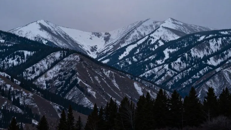
Rain and cooler temperatures will cover southeastern Wyoming and parts of western Nebraska over the next 48 hours, according to the Cheyenne Office of the National Weather Service. The agency forecasts several distinct weather systems moving through the region, ending the wet period by Tuesday morning.
The first system arrives from the southwest this morning, bringing scattered showers under mostly cloudy skies on Sunday. A second system will develop after sunset, introducing the potential for localized heavy rainfall and a few thunderstorms. This activity will concentrate primarily in western Nebraska before dissipating early Monday morning.
Showers will retreat to Carbon, Converse, and Niobrara counties on Monday morning before filling back into the southeast through the day. Cold air accompanying this second system will lower snow levels to approximately 7,000 feet by Monday morning. The agency predicts snow levels may drop as low as 5,000 feet by Monday evening.
Accumulating snow is expected above 7,000 feet, with possible accumulation between 5,000 and 7,000 feet, though confidence in the lower elevation range is lower. The wet weather pattern will persist into Monday evening before precipitation ends by Tuesday morning.
More Business · Consumer Watch · Report a business · Got a Story?